


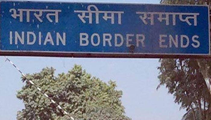
India, Nepal agree to use satellite system for border pillars
Over 8,000 boundary pillars along the Indo-Nepal border will be equipped with positioning system using Global Navigation Satellite System, allowing authorities for the first time to effectively manage the more than 1,700-km-long porous boundary.
Jun 26, 2016, 17:22 PM IST
Make IRNSS India's primary navigation system: Scientist
The Indian Regional Navigation Satellite System (IRNSS) should be made India's primary navigation system, said a top scientist on Thursday.
Oct 08, 2015, 23:59 PM IST